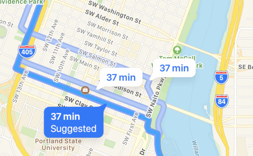
In this hashtag-time-soup era of the pandemic, office and home have blurred together. I’ve increased our reliance on delivery and decreased the amount of time I’ve been out in the world. I’d still take walks a couple of times a week, but it was always the same rut: a quick loop around the block. Randonautica … Continue reading Random Walks in the Wake of Randonautica
Tag: maps
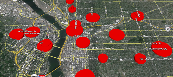
Puzzled Pint Portland heat map
In response to the previous post (Puzzled Pint surveys and metrics), someone had suggested building a heat map. I built a fairly primitive one with Google Earth and a short Ruby script. The radius of each circle is proportional to the number of attendees. The height is random-ish and only varies to help distinguish overlapping circles. … Continue reading Puzzled Pint Portland heat map
Netninja site changes: Hipster PDA & Code
Background I have talked about my relationship with the Hipster PDA for years. It is a sort of love/hate thing. I find that the basics are invaluable. I really love all the beautiful little templates and forms that people have made for the 3″ x 5″ form factor. Alas, I find that most — if … Continue reading Netninja site changes: Hipster PDA & Code
My Foursquare heat map
My Foursquare heat map, as generated by Where Do You Go: (via Gizmodo) Posted in:
Green Power!
One of the great things about Portland is not only the availability of green power, but the number of people who actually opt in to it. Posted in:
Color-Your-Own Electoral College Map
As seen on Twitter, Color-Your-Own Electoral College Map:
Heat map of election hackability
The website “dvice” has a nice clickable map of the states and what sort of voting equipment they use–and consequently how prone to hacking and software bugs they all are. Click a state to see what kind of equipment each district uses and a little more detail on the systems. I have to say that … Continue reading Heat map of election hackability
Google Street View
I noticed something interesting with Google Street View today. Normally, there is this little paper-doll guy that you can move around on the street to indicate your position. Picking him up and moving him great distances causes his feet to swing around. I guess they updated the images for the end of October: Posted in:
Watch out for that tree!
Posted in:
Street View in Portland!
It would appear that Google’s Street View has finally come to Portland. They must have come by on a weekend or really early in the morning, as my car is in the driveway. Posted in: